Large shallow inlets and bays (1160)
- Category: Habitat - surface monitoring
- Published: Monday, 24 October 2016 07:49
- Written by Super User
Habitat 1160 is defined as „an indentations of the coast, sheltered from wave action and being under minor influence of freshwaters, characterized by high diversity of flora and fauna communities” (Warzocha 2004). In the Polish marine areas, only the Puck Lagoon together with part of the Outer Puck Bay with a total area of 21990.1 ha can be considered as habitat 1160 (site central point 18°35,442’E 54°41,100’N). The site is situated within boundaries of Natura 2000 area – Puck Bay and Hel Peninsula PLH220032 (SDF for PLH220032), (Fig. 27). An important role for the preservation of the habitat 1160 plays its ecotone zone – in this case the coastal area 50 m wide (Michałek and Kruk-Dowgiałło 2014).
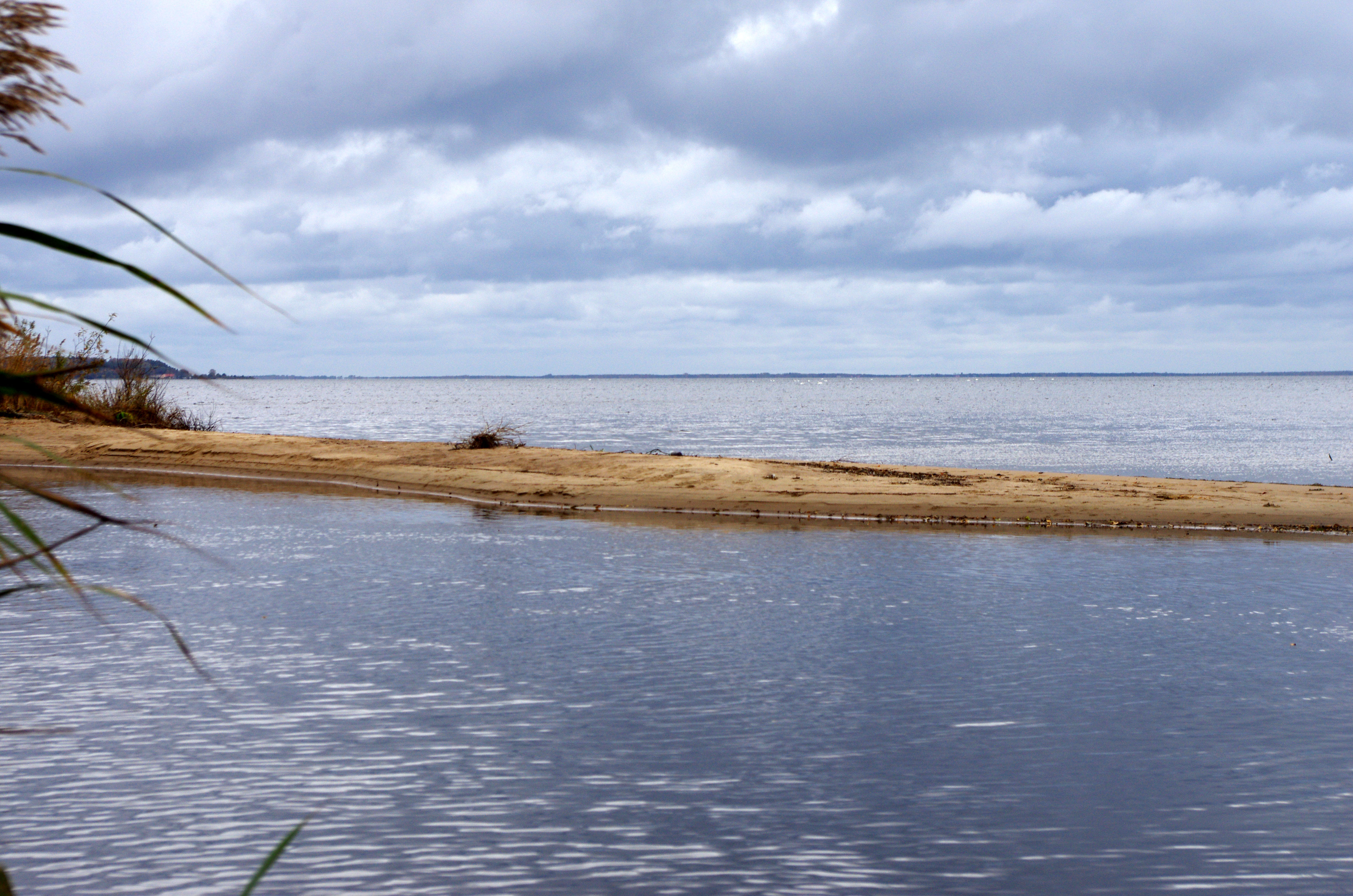
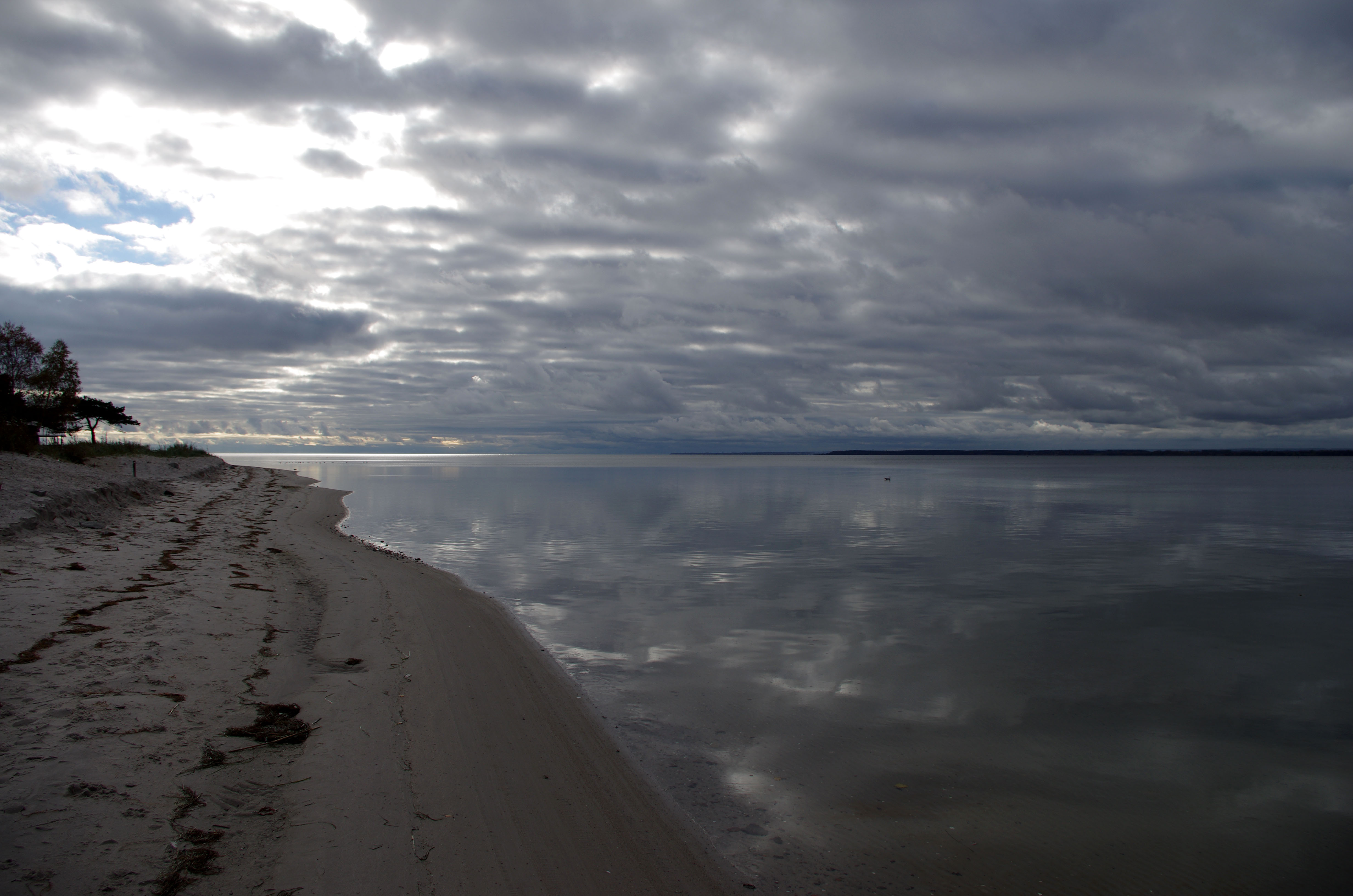
Generally, both basins, the Puck Lagoon and the Outer Puck Bay, are characterized by significant diversity in terms of depth, water exchange and morphology of the bottom. The Outer Puck Bay is deeper and has a direct connection to the Gulf of Gdańsk. Its bottom is not diverse and its depth decreases eastward. On the contrast, the Puck Lagoon is shallower basin with an average depth of 3 m and more diverse bottom morphology with many depressions and hollows. The boundary between those two water bodies is formed by a natural, sandy embankment called Rybitwa Shallow. It is 8.6 km long and remains above water surface for half a year. It borders with Rewa Cape at the south side. Both objects have changeable surface areas dependent on the sea level. They are separated from each other by Głębinka Strait (8.1 m wide) (Michałek and Kruk-Dowgiałło 2014).
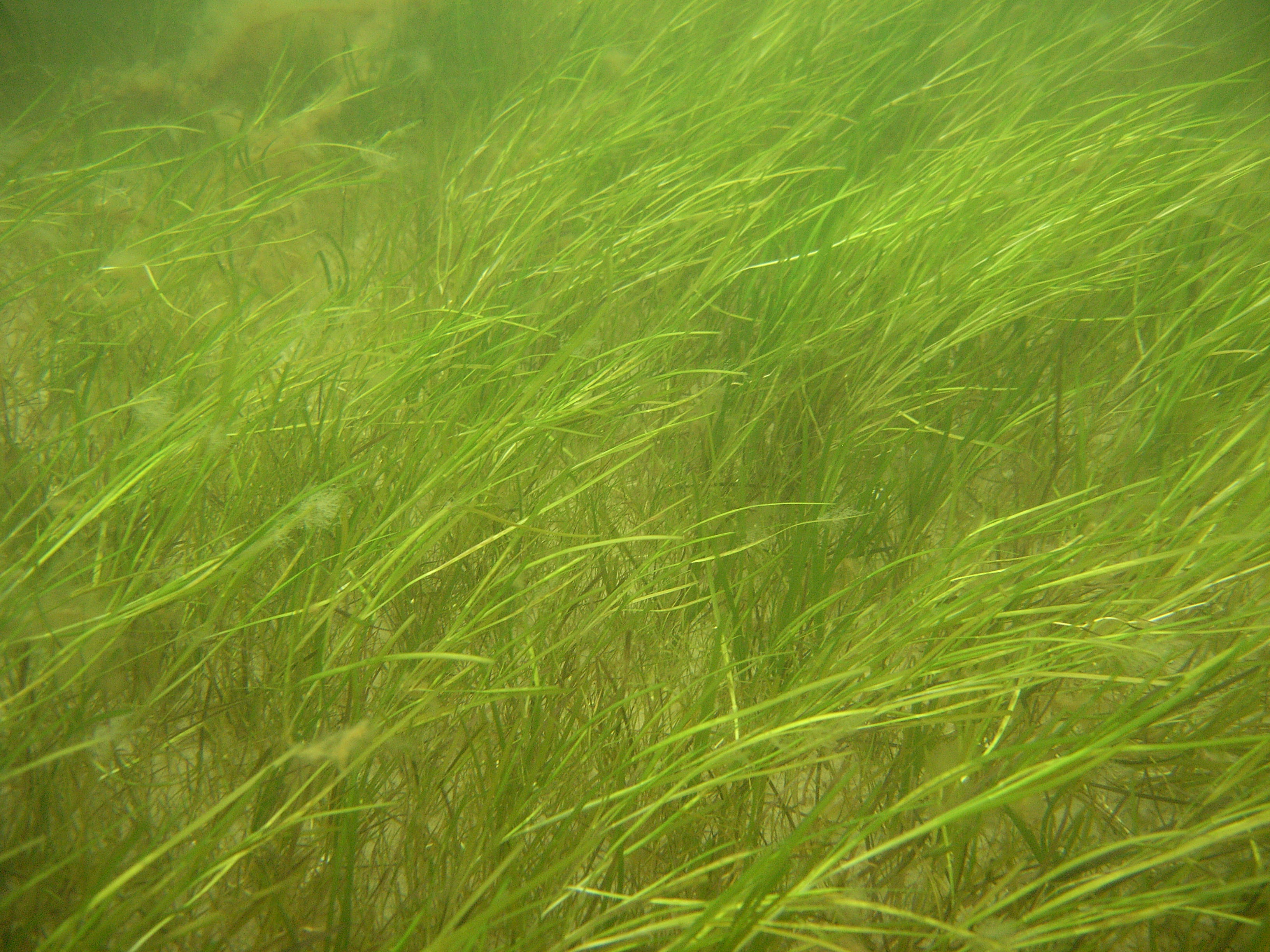
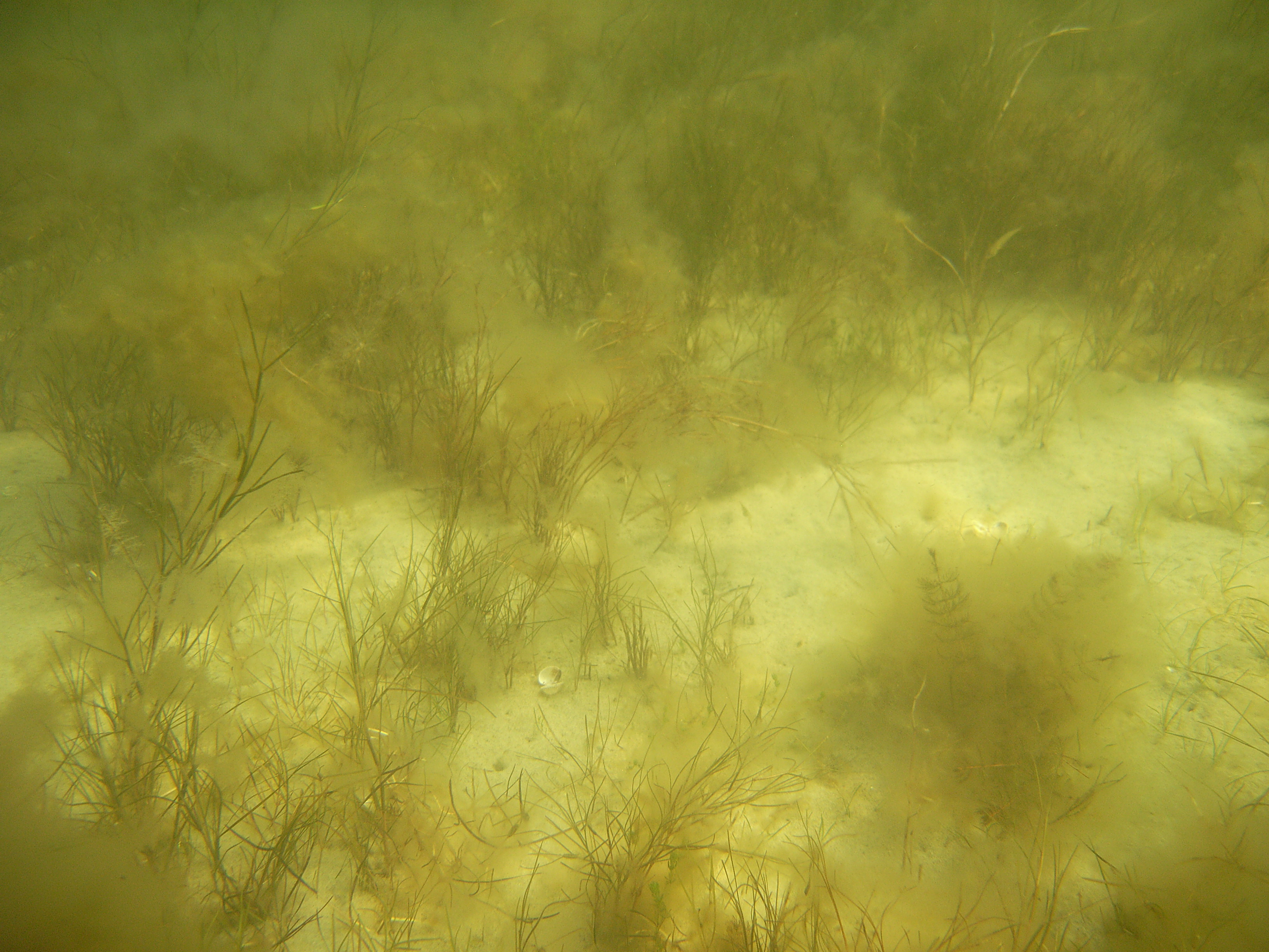
Habitat 1160 is unique in terms of natural values, mainly because of sea grass meadows and high diversity of water plants. Except large number of protected species, numerous rare species of green algae, charophytes, brown algae, red algae and vascular plants occur in this area. In the Puck Bay, protected species of charophytes are noted, e.g. Chara baltica, Tolypella nidifica and Nitella capilaris (Regulation of the Minister of Environment on 9 Oct 2014 about the protection of plant species, Journal of Laws 2014 pos. 1409) and vascular plants forming vast mono -species and multi-species underwater meadows (Kruk-Dowgiałło 2000, Kruk-Dowgiałło and Szaniawska 2008, Ecosystem approach… 2004-2009, Kruk-Dowgiałło and Brzeska 2009, Osowiecki et al. 2009 a, Michałek and Kruk-Dowgiałło 2014, SEM 2008-2015). The most valuable and most endangered component of the underwater meadows is sea grass Zostera marina, which is strictly protected. Significant areas of the sandy bottom are overgrown with meadows of Zannichellia palustris and Potamogeton pectinatus. Meadows are occupied by diverse fauna species, e.g.: Hydrobia sp., Cerastoderma glaucum, Macoma balthica, Marenzelleria neglecta and phytophylous fauna (Osowiecki et al. 2009 b).
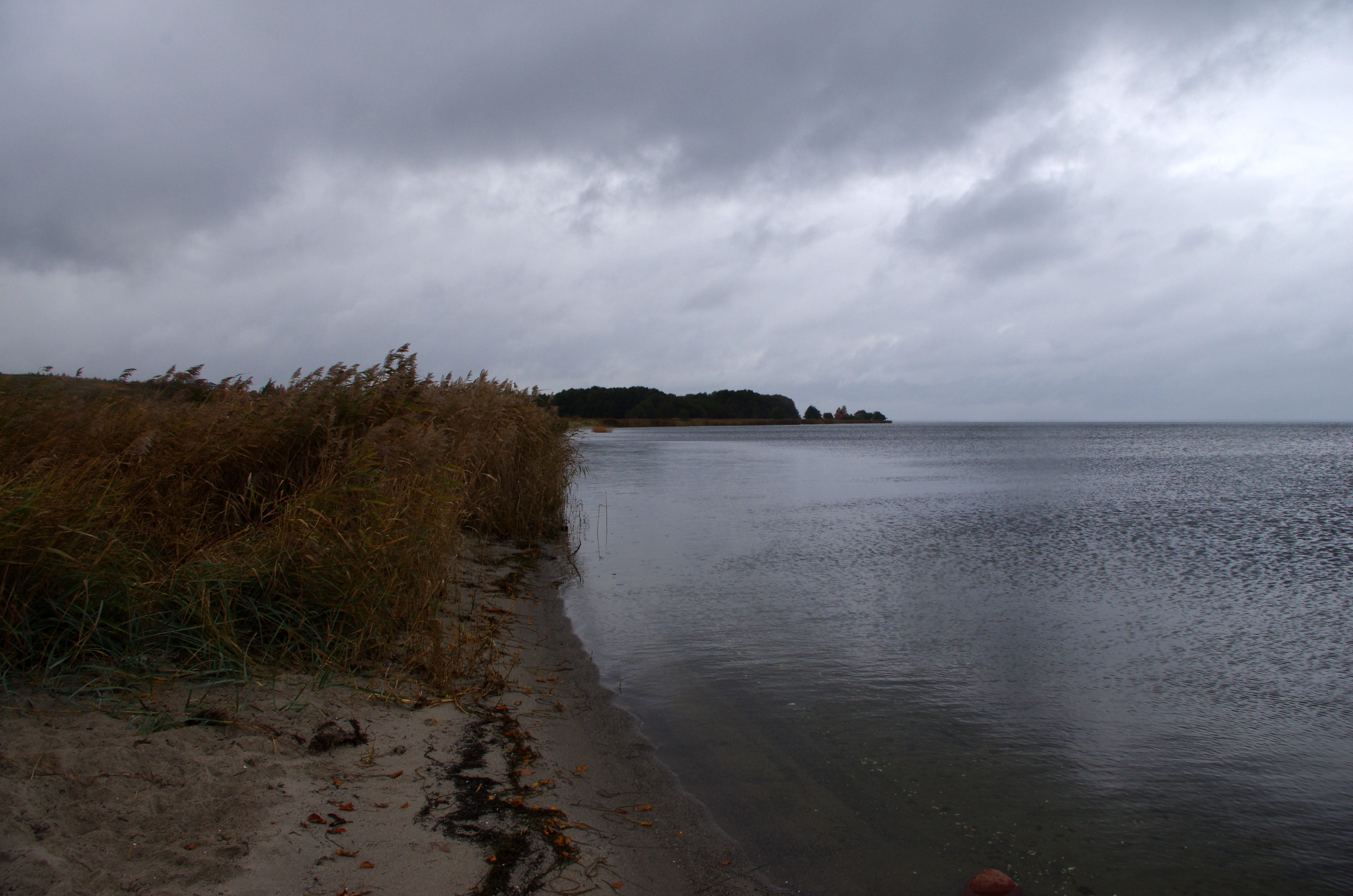
Ichthyofauna of the habitat 1160 is represented by freshwater (roach, pike, bass), diadromous (sea trout, lavaret) and seawater species (broadnosed pipefish, straightnose pipefish). A characteristic feature of the habitat is reed, which stabilize the coast and serves as a potential spawning ground for phytophylous fish and a shelter for avifauna. It is also a natural buffer removing pollutants from land. Natural reed beds are composed of Bolboschoenus maritimus, Schoenoplectus tabernaemontani and Phragmites australis (Michałek and Kruk-Dowgiałło 2014).
Since the mid-1970s, the condition of the Puck Lagoon and the Outer Puck Bay has been significantly deteriorated, mainly because of long-term runoff of nutrients from the land (Kruk-Dowgiałło and Szaniawska 2008). These water bodies belong to the most studied areas in the Polish marine waters.
In 2017, the Maritime Institute in Gdańsk is going to conduct environmental studies within the framework of the project ”Pilot monitoring studies of marine habitats and protected species in 2015-2018. The results will allow to assess the status of the habitat 1160.
Literature
-
Ecosystem approach to marine spatial planning – Polish marine areas and the Natura 2000 network (Przyrodnicze uwarunkowania planowania przestrzennego w polskich obszarach morskich z uwzględnieniem sieci Natura 2000). 2004-2009. EEA Grants – project supported by a grant from Iceland, Lichtenstein and Norway through the EEA Financial Mechanism, coordinator: Institute of Oceanology – Polish Academy of Science, Sopot.
-
Kruk-Dowgiałło L. (ed.) 2000. Przyrodnicza waloryzacja morskich części obszarów chronionych HELCOM BSPA województwa pomorskiego. Vol. 3:. „Nadmorski Park Krajobrazowy”. CRANGON 7, CBM PAN, Gdynia, ISBN 83-906449-5-9, 186 p.
-
Kruk-Dowgiałło L., Brzeska P. 2009. Wpływ prac czerpalnych na florę denną Zatoki Puckiej i propozycje działań naprawczych. [in:] Program rekultywacji wyrobisk w Zatoce Puckiej. Przyrodnicze podstawy i uwarunkowania. (Eds) L. Kruk-Dowgiałło and R. Opioła, Wyd. Instytutu Morskiego w Gdańsku, ISBN 978-83-85780-98-4 Gdańsk, 187-208.
-
Kruk-Dowgiałło L., Szaniawska A. 2008. Gulf of Gdańsk and Puck Bay. Part. II.B Eastern Baltic Coast [in:] Ecology of Baltic Coastal Waters. Ecological Studies 197. (Ed.) U. Schewier, Sprinter-Verlag Berlin Heidelberg: 139-162.
-
Michałek M., Kruk-Dowgiałło L. (eds) 2014. Program zarządzania dla rejonu Zatoka Pucka. Praca zbiorowa. Wykonano na zlecenie Urzędu Morskiego w Gdyni w ramach Zadania pn.: Opracowanie projektów planów ochrony obszarów Natura 2000 w rejonie Zatoki Gdańskiej i Zalewu Wiślanego. WW IM w Gdańsku Nr 6855, 396 p.
-
Osowiecki A., Krzymiński W., Nowicki W., Kruk-Dowgiałło L., Błeńska M., Brzeska P., Michałek-Pogorzelska M., Dubiński M., Łysiak-Pastuszak E., Góralski J., Chojnacki W., Marcinkow A., Kazała P. 2009 a. Opracowanie metodyki badania i klasyfikacji elementów biologicznych w procedurze oceny stanu ekologicznego jednolitych części morskich wód przejściowych i przybrzeżnych wraz z udziałem w europejskim ćwiczeniu interkalibracyjnym. Sprawozdanie z etapu II, 238 p.
-
Osowiecki A., Błeńska M., Michałek-Pogorzelska M. 2009 b. Ocena jakości ekologicznej wyrobisk i rejonu ich lokalizacji w Zatoce Puckiej na podstawie zoobentosu [in:] Program rekultywacji wyrobisk w Zatoce Puckiej. Przyrodnicze podstawy i uwarunkowania. (Eds) L. Kruk-Dowgiałło and R. Opioła, Wyd. Instytutu Morskiego w Gdańsku, p. 209-231.
-
SEM 2008-2015. Data collected within the State Environmental Monitoring in Poland in 2008-2015.
-
Regulation of the Minister of Environment on 9 Oct 2014 about the protection of plant species, Journal of Laws 2014 pos. 1409.
-
SDF for PLH220032. Standard Data Form for PLH220032 Puck Bay and Hel Peninsula, 10.2013.
-
Warzocha J. 2004. Duże płytkie zatoki. [in:] J. Herbich (ed.) Siedliska morskie i przybrzeżne, nadmorskie i śródlądowe solniska i wydmy. Poradniki ochrony siedlisk i gatunków Natura 2000 – podręcznik metodyczny Ministerstwo Środowiska, Warszawa, vol. 1, 54-60.